Map of interstate 40 highway California, Arizona, New Mexico, Texas, Oklahoma, Arkansas, Tennessee, North Carolina
Map interstate highway 40 route between cities Barstow, Flagstaff, Albuquerque, Amarillo, Oklahoma City, Little Rock, Memphis, Nashville, Greensboro, Raleigh, Wilmington
Interstate highway I-40 connects the cities of states: California, Arizona, New Mexico, Texas, Oklahoma, Arkansas, Tennessee, North Carolina. Detailed map of interstate route I40 with interchange and exit numbers.
Interstate 40 passes near several major cities: Barstow, Flagstaff, Albuquerque, Amarillo, Oklahoma City, Little Rock, Memphis, Nashville, Greensboro, Raleigh, Wilmington.

Map of Interstate 40 in the Flagstaff area

Map of Interstate 40 in the Albuquerque area

Map of Interstate 40 in the Tucumcari area

Map of Interstate 40 in the Amarillo area

Map of Interstate 40 in the Oklahoma City area

Map of Interstate 40 in the Little Rock area

Map of Interstate 40 in the Memphis area

Map of Interstate 40 in the Nashville area

Map of Interstate 40 in the Winston-Salem area

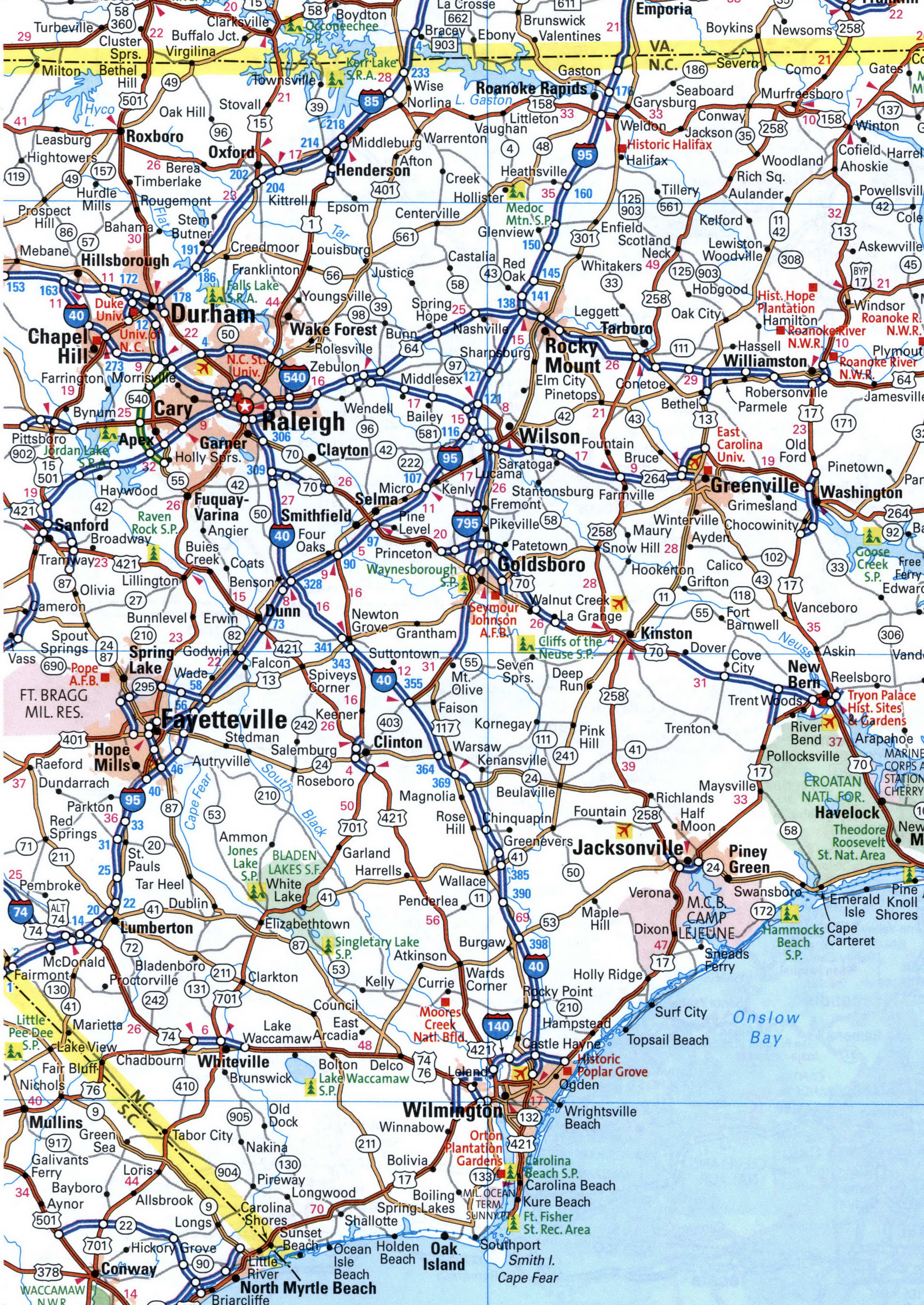
Map of Interstate 40 in the Wilmington area